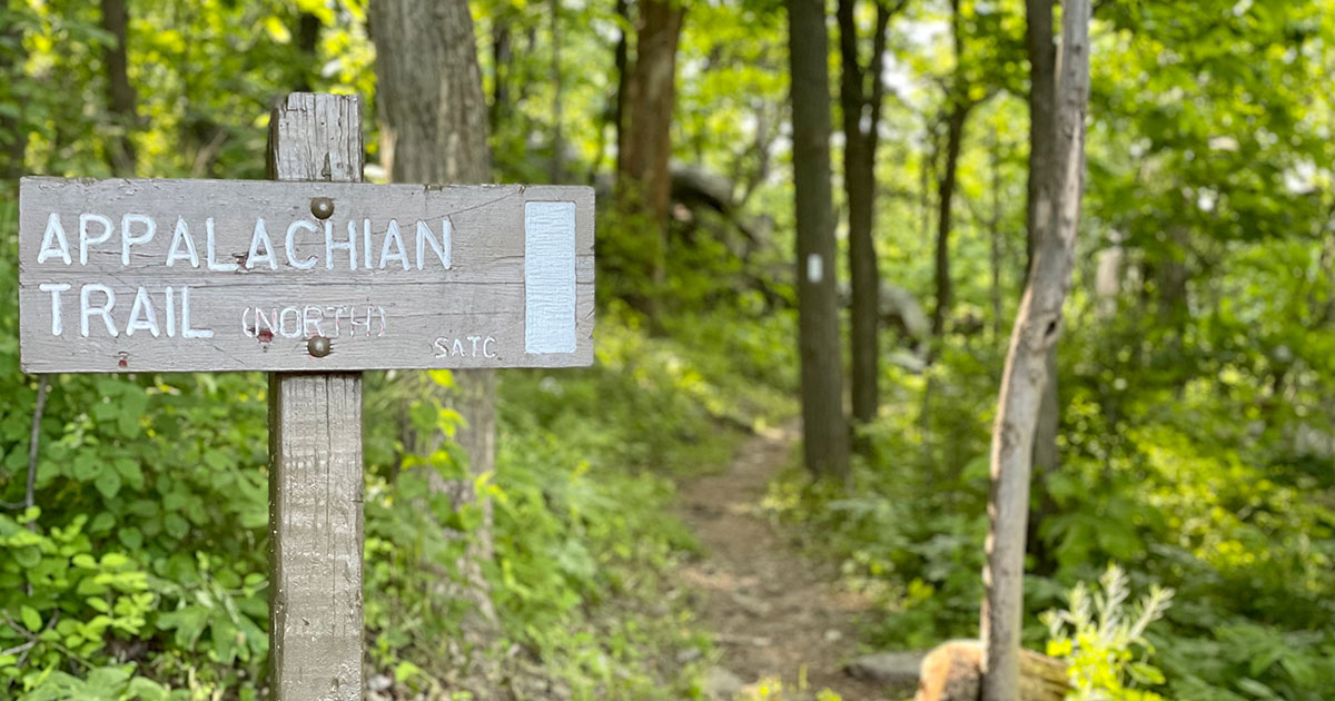

Most people know as a long green ribbon stitched down the spine of the eastern United States. What they don’t always realize is that nearly every mile of it sits on top of something older, something human, something worth knowing about.
The trail stretches 2,197.9 miles through 14 states, and the lands along it are rich in history, including the stories of American Indians, pioneers, settlers, farmers, and early trailblazers, with a wealth of historic sites featuring structures, battlefields, industries, and archaeological sites that predate the trail itself. Below is a gallery of the most compelling chapters hidden beneath its famous white blazes.
The Vision of One Man: Benton MacKaye and the Trail’s Origins
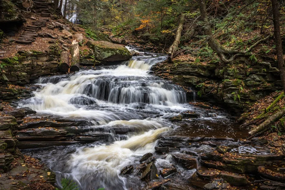
The trail was conceived by Benton MacKaye, a forester who wrote his original plan, called “An Appalachian Trail, A Project in Regional Planning,” shortly after his wife’s death in 1921. His proposal was published in the Journal of the American Institute of Architects that October, and it lit a spark.
The footpath MacKaye envisioned was to be a connecting thread for an elaborate system of self-sustained woodland communities. He described plans for small-scale agriculture, forestry camps, shelters, inns, study centers, and cooperative commonwealths with permanent residencies, all part of a broader “Appalachian Domain.”
MacKaye was convinced that the pace of urban and industrial life along the East Coast was harmful to people. He envisioned the trail as a path interspersed with planned wilderness communities where people could go to renew themselves. That idea never gained much traction, but the notion of a thousand-mile footpath in the mountains fired the imaginations of hikers and outdoorsmen from Maine to Georgia.
Myron Avery: The Builder Who Made It Real
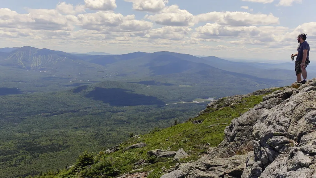
While MacKaye provided the trail’s inspiration, a lawyer and outdoorsman named Myron Avery was chosen to lead the actual construction of the trail from 1930 through its completion in 1937. The trail produced was much more a reflection of Avery’s unwaveringly pragmatic nature than of his contemporary’s idealism.
As progress on the trail continued, Avery and MacKaye’s visions for what the trail was and should be clashed. Avery’s more pragmatic idea for the trail as a means for making the mountains more accessible to the masses did not align with MacKaye’s more romantic vision. The feud eventually culminated in 1935, with MacKaye diverting much of his attention away from the trail toward other projects.
Regardless, under Avery’s continued efforts, the trail was finally connected as a continuous footpath stretching from Georgia to Maine on August 14, 1937. Despite outlining a much more ambitious vision, MacKaye originally proposed a trail of only 1,200 miles, planned to stretch between North Carolina’s Mount Mitchell, the highest point in the Southeast, and New Hampshire’s Mount Washington, the highest point in the Northeast.
The Civilian Conservation Corps: An Invisible Hand on the Terrain
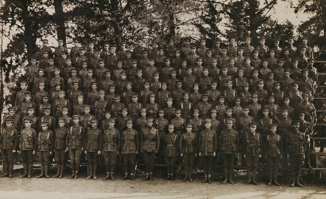
Progress on the trail received a major assist in 1933 with the creation of the Civilian Conservation Corps (CCC), a voluntary public work relief program that employed unmarried men ages 18 to 25. The CCC, along with the U.S. Forest Service, was responsible for much of the progress on the physical trail during the 1930s.
In those early days of the Appalachian Trail, hikers did not have the advantage of a chain of trail shelters where they could spend the night. From Roanoke to Damascus, only one shelter was ever built on the original route. The Rocky Knob Shelter, built by the Civilian Conservation Corps, is a stone structure with three walls.
Since the trail corridor is a linear, if serpentine, sample of northern Appalachian highland environments, it’s not surprising that it often runs on, over, along, and through a variety of heritage resource sites, ranging from Native American quarries and early Euro-American toll roads, to 19th century logging camps, settlements and mines, to historic recreation structures and CCC-erected fire towers.
Indigenous Footsteps: Thousands of Years Before White Blazes
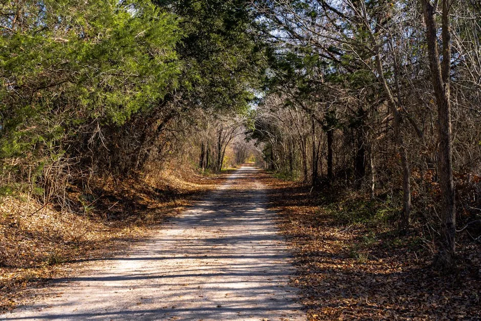
Three hundred years ago, the southern Appalachians were home to the sovereign Cherokee people. Over fifty towns and settlements were connected by a well-worn system of foot trails, many of which later became wagon roads built by Cherokee turnpike companies. This Indian trail system, which climaxed around 1800, was the blueprint for the basic circuitry of the region’s modern road and interstate system.
Many of the trails were first broken by animals traveling to the salt licks in the region, especially by herds of buffalo in the Valley of Virginia. These animal trails were later used by Native Americans. The trails were used for commerce, trading, and communication between tribes before the land was explored by Europeans.
Appalachian State University archaeologist Dr. Alice Wright and her team of student researchers unearthed dozens of artifacts at App State’s Blackburn Vannoy Estate and Farm in Ashe County that date back to prehistory, evidence that 8,000 to 1,000 years ago, Native American peoples used the area as a campsite. The 2025 discovery adds another layer to an already deep human record across these mountains.
Blood Mountain and the Cherokee: Names Carved in Conflict

Blood Mountain is one of the first long, steep climbs northbound thru-hikers face on the trail. It is the last mountain standing between them and the iconic Mountain Crossings outfitter. Blood Mountain likely takes its name from a massive, bloody battle in 1755 between the Cherokee and Creek people, though historians know little about the specifics of this alleged confrontation.
Mountain Crossings Outfitter is inside a historic structure known as the Walasi-Yi Interpretive Center, named for the Cherokee town of Walasi-Yi. The Cherokee lived in this town until the United States forcibly removed them on the Trail of Tears in 1838. The name Walasi-Yi means “Home of the Great Frog.”
The Trail of Tears crosses the Appalachian Trail at the bottom of Nantahala Gorge near the Nantahala Outdoor Center, a popular stop for thru-hikers. A commemorative plaque marks the exact location of the crossing. Nantahala is a Cherokee word that means “Land of the Noonday Sun.”
Harpers Ferry: Where the Trail Meets American History
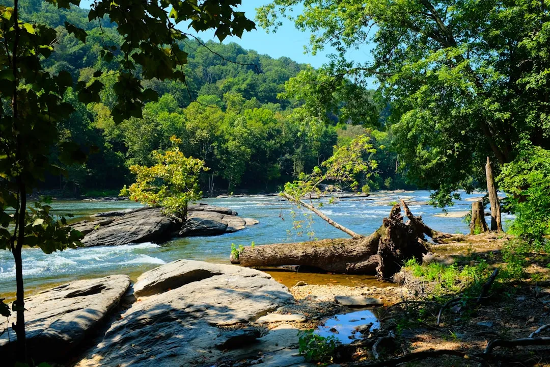
Harpers Ferry National Historical Park, which encircles the town of Harpers Ferry and through which about 1.2 miles of the Appalachian Trail passes, is home to some of the nation’s most significant historic events, including John Brown’s Raid and Civil War battles.
The Civil War had a profound and disastrous effect on Harpers Ferry, leaving a path of destruction that wrecked the town’s economy and forced many residents to depart forever. Because of the town’s strategic location on the Baltimore and Ohio Railroad at the northern end of the Shenandoah Valley, Union and Confederate troops moved through Harpers Ferry frequently. The town changed hands eight times between 1861 and 1865.
Protected since 1963 as a national park, Harpers Ferry’s many well-preserved wood, brick, and stone buildings are palpable reminders of early American enterprise, including the country’s first large factory, first canal, and first railroad, and of John Brown’s 1859 rebellion against slavery. Today the Appalachian Trail Conservancy calls the town home, with its headquarters sitting just a quarter mile from the path itself.
Earl Shaffer: A Veteran Who Walked It All
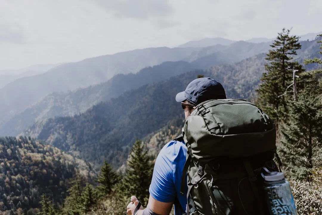
On April 4, 1948, Army veteran Earl Shaffer set out from the southern end of the Appalachian Trail to, as he famously said, “walk the war out of my system.” When he finished at the northern terminus, Maine’s Mount Katahdin, 124 days later, Shaffer became the first person known to have thru-hiked the 2,000-plus mile trail.
In 1948, when people had their doubts that such a feat was possible, Shaffer, a World War II veteran fresh out of the service, left for his “Long Cruise” on April 4, from Mount Oglethorpe, the trail’s original southernmost point in Georgia. Without guidebooks, relying only on road maps and a compass, he averaged 16.5 miles a day and reached Mount Katahdin 124 days later.
Shaffer’s hike and the corresponding press would directly inspire another solo hiker to embark on a journey from Georgia to Maine when Grandma Gatewood read a National Geographic article about him while waiting at her doctor’s office. History, it turns out, sometimes begins in a waiting room.
Grandma Gatewood: The 67-Year-Old Who Changed Everything
When Emma Gatewood set out to hike the Appalachian Trail in 1954, no women and only five men had ever hiked it continuously. The farmer, mother of 11 children and grandmother of 23, was in her mid-60s at the time, earning herself the trail name “Grandma Gatewood.” She had never hiked a mountain in her life.
The first solo woman to complete the hike was 67-year-old Emma Gatewood, who did it northbound in 1955, taking 146 days. Grandma Gatewood would thru-hike the trail a second time in 1957 and a third in 1964.
According to the Appalachian Trail Conservancy, in the trail’s first several decades, women represented only about 15 percent of those who completed the entire trail. However, by 2018, women represented a third of all thru-hikers. Gatewood’s legacy is real and measurable.
Industrial Ruins: Mines, Kilns, and Forgotten Factories
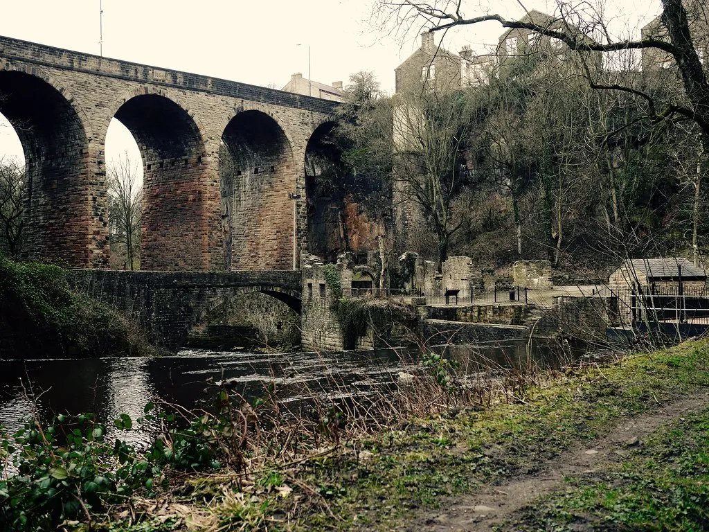
Hikers pass by many quarries, kilns, furnace sites, and mines along the trail, demonstrating how natural resources were used to fuel industrial growth during the 18th and 19th centuries. These ruins sit quietly beside the footpath, largely unmarked and easy to miss.
Pilgrim’s Rest Spring in Pennsylvania was used extensively by American Indians, missionaries, government officials, and settlers before the 18th century. Also, the first monument to General George Washington, a stone tower built by the people of Boonsboro, Maryland, in 1827, is located along the trail in Washington Monument State Park.
At one point or another, nearly the entire Appalachian Trail has been relocated or rebuilt, piece by piece, since its completion in 1937. This has been done in an effort to have the trail pass through less private land, improve its quality, and more thoroughly surround it by wilderness. The Appalachian Trail Conservancy estimates that only about one percent of the original footpath is still part of the modern-day trail.
The Trail Today: Living History on a Modern Scale
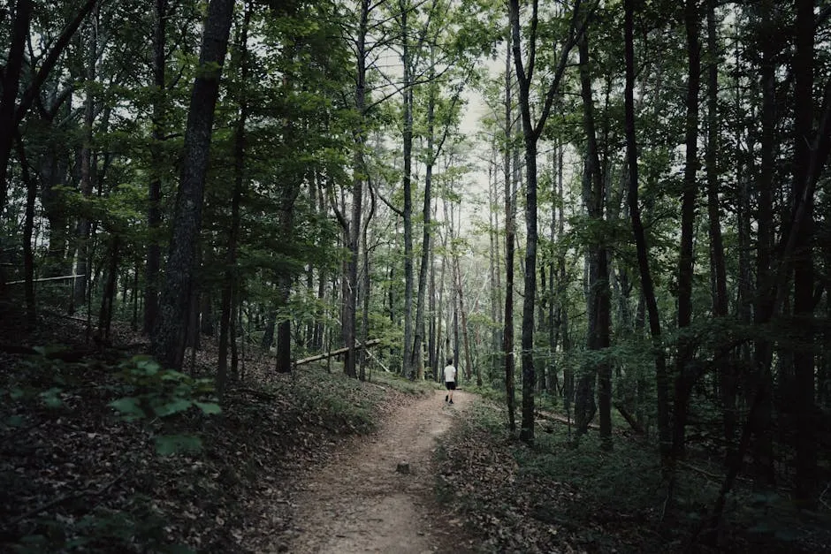
The Appalachian Trail had 16.9 million recreation visits in 2025, including 6.2 million on the parts of the trail that run through National Park Service land, making it the ninth most-visited NPS site. This is the first time such an accurate visitor count has been made and the first time the trail will be included in the NPS’s annual ranking report.
The Appalachian Trail Conservancy estimates there are over 3,000 attempts to traverse the entire trail each year, about 25 percent of which succeed. More than 5,000 volunteers contribute roughly 176,500 hours to the trail every year, and more than 260 backcountry shelters exist along the path.
Numbers from the ATC suggest far fewer hikers on the Appalachian Trail in 2025 compared to 2024, a trend that could be due to many factors: economic uncertainty, fears surrounding post-Hurricane Helene recovery, the end of the post-COVID outdoor recreation spike, or simply an unrelated blip in the numbers. Even so, the trail’s pull on the American imagination remains unchanged.
The Appalachian Trail is many things at once: a hiking path, a conservation achievement, a living archive. Every ridge crossed, every stream forded, every stone shelter passed tells a story that started long before the first white blaze was ever painted. The history isn’t hidden so much as it’s waiting, quietly, for someone willing to slow down and look.
AI Disclaimer: This article was created with the assistance of AI tools and reviewed by a human editor.