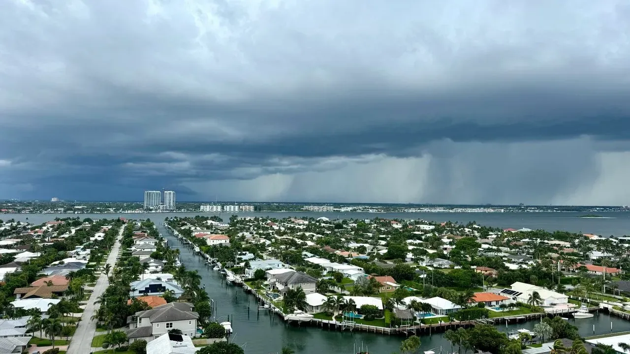

Florida – A strengthening super El Niño in the Pacific is raising the prospect of more frequent and intense rain events across the state this winter, meteorologists said, following a weekend of torrential downpours that coincided with a Learjet 60 crash in Palm Beach County. The pattern could shift odds toward heavier storms and flash flooding through early 2027, according to forecasters tracking the climate phenomenon.
Record-Breaking Ocean Warmth Fuels the Alert
Ocean surface temperatures in the equatorial Pacific have already climbed well above historical averages, marking one of the strongest El Niño episodes on record. This warm phase of the El Niño-Southern Oscillation typically lasts nine to twelve months and occurs every two to seven years. A super El Niño of this magnitude tends to weaken trade winds and alter global weather patterns. In the southern United States, including Florida, it often translates into wetter and stormier conditions during the fall and winter months. National Oceanic and Atmospheric Administration meteorologists expect the current event to peak later this winter and remain strong through March 2027.
Weekend Deluge Highlights the Risk
Palm Beach Gardens recorded 17 inches of rain in just six hours during the event, nearly double the threshold for a one-in-1,000-year storm based on historical data. A flood watch remained in effect through Monday afternoon as the National Weather Service issued multiple flash flood and severe thunderstorm warnings across the peninsula. The Learjet 60, en route from Austin, Texas, to the Bahamas, encountered the heavy precipitation shortly before the crash. The pilot reported rain and requested a climb before declaring an emergency and descending rapidly. All nine people aboard were killed when the aircraft struck a mobile home community. Florida meteorologist Jeff Berardelli noted that a meso low concentrated rainfall rates of five inches per hour during the storm, conditions he linked to the broader influence of the super El Niño.
Practical Stakes for Homes and Landscapes
Repeated heavy rain events can overwhelm drainage systems, saturate soils, and increase the chance of localized flooding in residential areas. Homeowners and growers may face challenges with waterlogged yards, erosion on slopes, and stress on established plantings that cannot tolerate prolonged saturation. AccuWeather Vice President Dan DePodwin said the atmospheric setup seen over the weekend could become more common. “Heavy rain events as well as severe thunderstorms may be common in Florida this winter,” he told Newsweek. “The strengthening Super El Niño tends to shift the odds toward more heavy rain and severe thunderstorms in Florida, particularly from late fall through winter.” DePodwin added that a more active southern jet stream and Gulf moisture often bring above-average rainfall and a higher risk of damaging winds during El Niño winters.
Outlook Through Early Next Year
The NOAA Climate Prediction Center anticipates above-average rainfall chances for much of Florida in the coming months. While individual storms are not solely caused by El Niño, the pattern raises the likelihood of the kind of extreme precipitation observed recently. Residents are advised to monitor local forecasts and prepare drainage around properties ahead of the wetter season. The combination of warmer ocean temperatures and shifting jet stream patterns suggests the current warning will remain relevant well into 2027.
AI Disclaimer: This article was created with the assistance of AI tools and reviewed by a human editor.