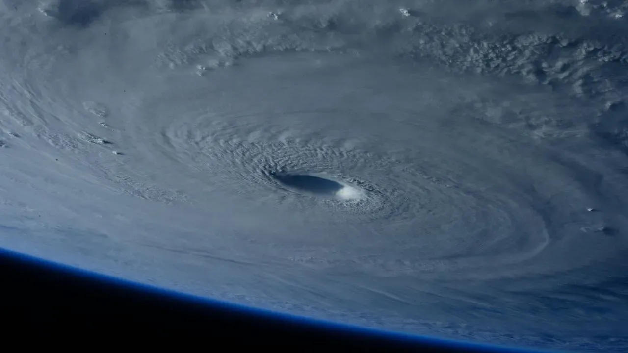

Miami – Tropical Storm Isaias formed in the Gulf of Mexico this week and is forecast to become the Atlantic basin’s first hurricane of the season while chasing a 121-year-old mark for the latest such storm on record. The system is expected to turn northward and approach the northern Gulf Coast by the end of the week, prompting watches and preparations across parts of Mississippi, Alabama and the Florida Panhandle.
Rapid Strengthening and Historic Timing
The storm developed Wednesday in warm waters off eastern Mexico and quickly reached tropical-storm strength with sustained winds of 45 mph. Forecasters at the National Hurricane Center said Isaias should intensify into a hurricane by Thursday as it moves toward the U.S. coastline. That pace would tie or surpass the previous latest date for the season’s first Atlantic hurricane, set in 1905. The current track keeps the system on pace to challenge that benchmark while still allowing time for coastal residents to act.
Watch Areas and Expected Landfall Window
A hurricane watch covers the northern Gulf Coast from Bay St. Louis, Mississippi, to Indian Pass on the Florida Panhandle. The watch signals that hurricane conditions remain possible within 48 hours. Models show the center turning northward after passing well southwest of the Mississippi River delta. Landfall is currently projected for late Friday or early Saturday, though the exact location and intensity could still shift. Residents are urged to review plans now for high winds, storm surge and heavy rainfall that could produce flash flooding.
Local Actions and Rainfall Outlook
Florida Governor Ron DeSantis issued a state of emergency for 25 counties in the Panhandle and Big Bend regions to activate emergency resources. In Alabama, organizers canceled the National Shrimp Festival in Gulf Shores, citing safety concerns for visitors, vendors and volunteers. The storm is expected to bring 3 to 6 inches of rain along the immediate Gulf Coast, with isolated totals reaching 10 inches. Farther inland, parts of the Southeast could see 1 to 3 inches. Eric Blake, a forecaster at the hurricane center, noted that it is time for people to put their hurricane plans into action.
Protecting Outdoor Spaces Ahead of Arrival
Homeowners and gardeners along the northern Gulf Coast face the same timeline as other residents to secure property before stronger winds and heavy rain arrive. Securing loose items, trimming vulnerable branches and moving potted plants to sheltered locations can reduce damage from gusts and flooding. Preparation now also helps limit debris that could become projectiles or block drainage once the storm passes. The quiet Atlantic season so far, influenced by El Niño conditions, has given way to this late-developing system that still carries significant local impacts.
AI Disclaimer: This article was created with the assistance of AI tools and reviewed by a human editor.