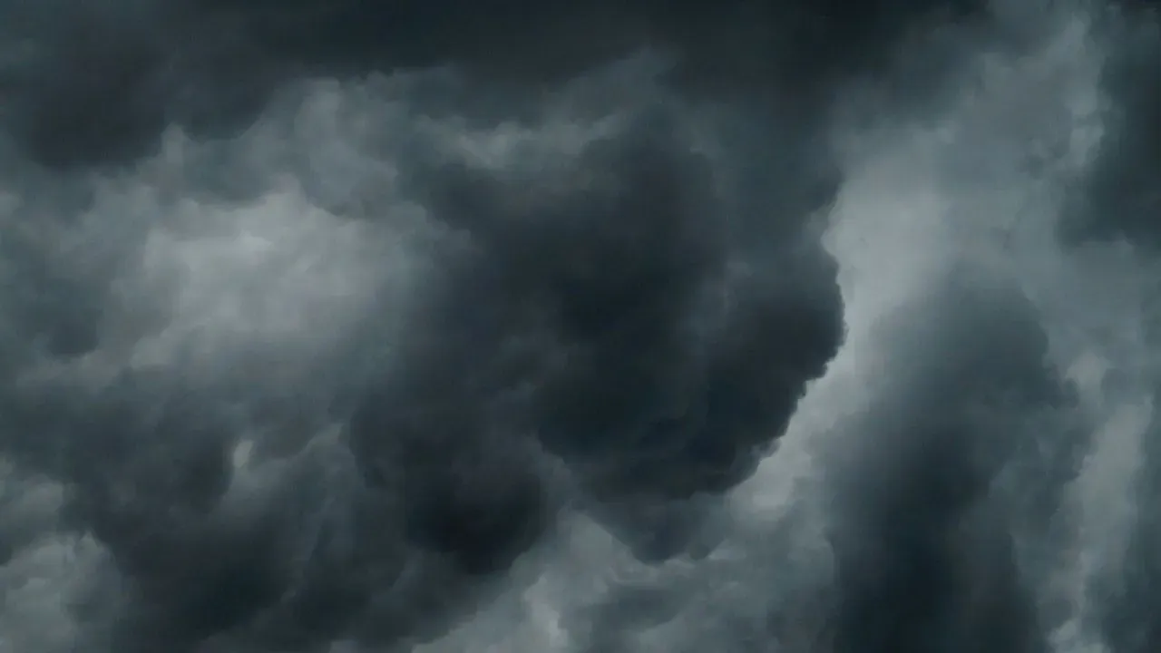

Mexico’s southwestern Pacific coast faces heightened risks from Hurricane Polo after the storm underwent rapid strengthening on Tuesday. The system reached Category 5 intensity with maximum sustained winds of 160 mph, up from 150 mph earlier in the day. Forecasters warn of life-threatening flooding and mudslides in vulnerable areas even if the core stays offshore.
Swift Intensification Marks the Storm’s Evolution
Polo’s quick climb in power caught attention as it moved near the coast of Guerrero. The National Hurricane Center noted the jump in strength Tuesday morning, with the hurricane positioned roughly 220 miles south of Zihuatanejo. It was also about 360 miles south-southeast of Manzanillo in neighboring Colima state. The storm tracked eastward at around 6 mph before an expected northwest turn later in the period. Such rapid changes highlight how quickly conditions can shift in the eastern Pacific during peak season. Polo may still gain a bit more intensity through Wednesday before any weakening sets in. Residents and officials in the region are monitoring the track closely as the system approaches.
Heavy Rainfall and Flooding Risks Take Center Stage
The primary threat comes from torrential rains rather than direct wind impacts along the shore. Parts of Guerrero and Michoacán could see 4 to 8 inches of rain through Thursday, with isolated totals reaching 12 inches in steeper terrain. Additional areas in Oaxaca, Colima, and Jalisco face 3 to 6 inches over the same timeframe. These amounts raise the prospect of flash flooding and mudslides, particularly where slopes are steep. A tropical storm watch covers the coast from Tecpan de Galeana in Guerrero to Manzanillo. The watch signals that tropical storm conditions remain possible within the next 48 hours in those zones.
Path and Timing Shape the Outlook
Current guidance keeps the center of Polo offshore as it moves parallel to the coast before curving northwest. Even without a direct landfall, the outer bands are expected to deliver significant moisture inland. Forecasters emphasize that the combination of heavy rain and mountainous terrain could amplify runoff and debris flows in affected communities. Authorities in the watch area are preparing for potential disruptions to travel and daily routines. Coastal resorts and smaller towns alike stand to feel the effects through elevated water levels and saturated ground.
Broader Context for Coastal Preparedness
Events like this underscore the need for ongoing vigilance in Pacific Mexico during hurricane season. Communities have experience with such systems, yet the speed of Polo’s strengthening serves as a reminder that forecasts can evolve quickly. Officials continue to update advisories as new data arrives. The situation remains fluid, with the storm’s ultimate impacts depending on its exact track and rainfall distribution over the coming days. Local emergency plans focus on protecting lives and property from the water-related hazards now in view.
AI Disclaimer: This article was created with the assistance of AI tools and reviewed by a human editor.