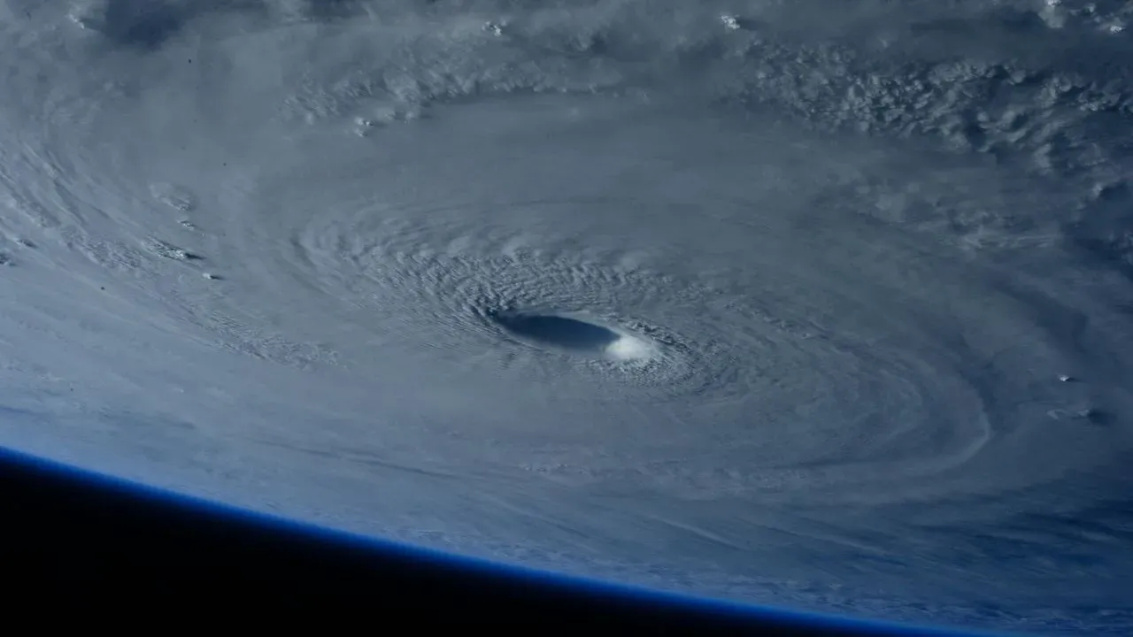

Baja California Peninsula – Hurricane Polo came ashore on the western coast of Mexico’s Baja California Peninsula early Tuesday, according to the National Oceanic and Atmospheric Administration. The storm’s outer bands are now expected to extend influence much farther north, raising questions for gardeners and homeowners across the U.S. Southwest about how any arriving moisture or wind might affect yards and outdoor plants. Forecasters continue to track the system’s progression as residents prepare for possible changes in local conditions.
Storm Path and Confirmation Details
NOAA issued its confirmation at 2 a.m. Tuesday that Polo had crossed the coastline south of the central peninsula region. The timing placed the landfall in the overnight hours, allowing the system to begin weakening over land while its broader circulation persisted. Meteorologists noted that the hurricane’s structure would continue to send moisture and gusts northward even as the core dissipated. This development follows a typical late-season pattern in the eastern Pacific, where storms can still deliver impacts well beyond their point of landfall. The agency’s update emphasized that the primary concern for areas outside the immediate strike zone would be the far-reaching outer bands rather than the hurricane’s strongest winds.
Implications for Southwest Outdoor Spaces
Gardeners in southern California, Arizona, and neighboring states often watch Pacific storms closely because even distant systems can alter local watering needs or introduce sudden wind events. Any moisture that travels northward could ease late-summer dryness in some yards, yet it might also create temporary soggy spots around newly planted beds or container gardens. Homeowners who maintain sensitive ornamentals or vegetable plots may find value in checking drainage around raised beds and ensuring lightweight items such as trellises or hanging baskets are secured. The same bands that bring rain can also carry gusts capable of scattering mulch or toppling unsecured pots on patios and decks.
Practical Steps for the Coming Days
Residents monitoring the forecast can take several measured actions to limit disruption: – Review local weather updates from NOAA and regional services for any advisories on wind or rainfall.
– Move delicate potted plants to sheltered locations if gusty conditions are expected.
– Clear gutters and downspouts around garden structures to handle possible runoff.
– Avoid overwatering established landscapes in advance, allowing soil to absorb natural moisture if it arrives.
– Note any standing water after an event and address it promptly to protect plant roots. These steps focus on readiness rather than reaction and align with routine seasonal maintenance many Southwest gardeners already perform.
Looking Ahead
As Polo weakens inland, attention shifts to how far its remaining moisture travels and whether it produces measurable effects on the U.S. side of the border. The situation remains fluid, with forecasters updating guidance as new data arrives. For those tending yards and gardens, the episode serves as a reminder that distant weather systems can still shape daily outdoor routines in the days that follow.
AI Disclaimer: This article was created with the assistance of AI tools and reviewed by a human editor.