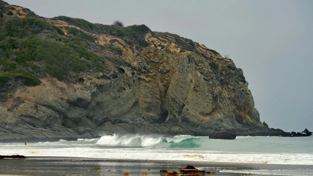

Dana Point, California – Powerful swells from Hurricane Marie have left beachfront properties along the Orange County coast in a precarious state, with additional multimillion-dollar homes now red-tagged as unsafe. The damage stems from erosion and wave action that began over Labor Day weekend and continues to threaten oceanfront structures. Local officials have declared emergencies to speed up protective measures, while several popular beaches and access points remain closed to the public.
Scale of Damage Expands in Capistrano Beach Area
What began with reports of 14 affected homes along Beach Road in Dana Point’s Capistrano Beach has grown. City records now show at least 10 additional properties red-tagged in recent days, bringing the total near a dozen. These designations mean the structures are considered too dangerous for occupancy until repairs or further assessments occur. Contractors have started placing boulders and sandbags in front of vulnerable homes to blunt ongoing wave impacts. Homeowners, however, must navigate permits and specialized crews largely on their own, even when Coastal Commission approvals are secured. The situation has left many residents monitoring daily updates on new threats to their properties.
Emergency Declarations Enable Faster Response
Laguna Beach officials issued a local emergency proclamation earlier this week to bypass standard contracting delays. The measure covers shoreline protection, sand placement, debris removal, assessments, and repairs. City Manager Dave Kiff described the volume of sand stripped from the shoreline as unprecedented in recent memory. Orange County Supervisor Katrina Foley emphasized the need for swift government action to document damage and secure recovery assistance. A press release from the city noted that the swell event beginning September 2 triggered significant sand movement and erosion that remains active.
Beach and Access Closures Add to Community Strain
Public access points have also been restricted. The south end of Lagunita Beach, Pearl Street Beach, the footpath at Christmas Cove, and the Aliso Beach parking lot are temporarily closed. These measures aim to protect visitors from unstable conditions created by the eroded shoreline. Residents like Natalie Messana, whose own home carries a yellow tag, report mounting pressure. “It’s getting worse,” she told reporters. “Every day, I get a phone call that there is a new home being affected.”
Broader Climate Context and Next Steps
The recent event aligns with forecasts of a strong El Niño pattern this fall and winter. NOAA’s Climate Prediction Center has indicated a greater than 90 percent chance of a very strong episode, with a 75 percent chance it could rank among the most intense on record since 1950. Recovery efforts now focus on stabilizing the most exposed properties while officials track further erosion. The combination of red-tagged homes and restricted beach access underscores the immediate challenges facing this stretch of Southern California coastline.
AI Disclaimer: This article was created with the assistance of AI tools and reviewed by a human editor.