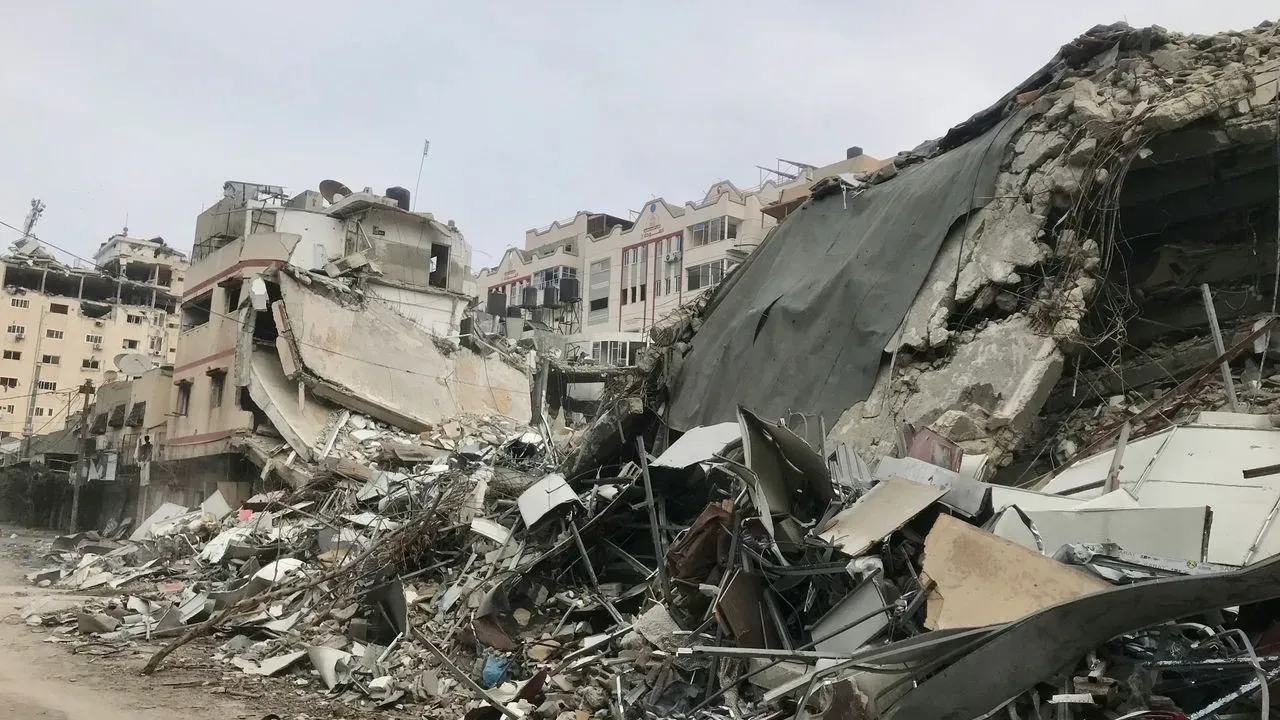

Millions of Californians live with the constant possibility of a powerful earthquake, and new research from a state university offers a clearer picture of where the largest events are most probable. The work focuses on identifying hotspots rather than forecasting exact timing or magnitude. It arrives at a moment when preparedness remains a daily priority for residents and officials alike. ([1])
A Shift in How Experts Assess Risk
Researchers announced they have created a method to highlight the areas most likely to host some of the world’s biggest earthquakes. The approach draws on data patterns that point to elevated risk zones instead of promising precise predictions. Public university scientists in California led the effort, emphasizing that the tool improves understanding of long-term probabilities.
Traditional seismic studies have long relied on historical records and fault mapping. This new technique adds another layer by narrowing attention to specific segments where major releases of energy appear more probable. The result is a more focused view of potential impact areas without claiming certainty about when movement will occur.
Practical Value for Communities
Knowing which stretches of fault lines carry higher odds can guide decisions on building codes, emergency planning, and infrastructure investment. Local governments could direct resources toward reinforcing critical facilities in those zones. Residents might also use the information to review personal preparedness plans with greater context.
The method does not replace existing warning systems that detect quakes seconds before shaking arrives. It instead supports longer-range planning that reduces damage when the next large event does strike. Officials have stressed that even improved hotspot identification leaves room for surprises along less studied faults.
What Remains Unknown
Scientists continue to caution that earthquake timing stays elusive. The new tool identifies locations with elevated likelihood but offers no calendar for activity. Ongoing monitoring and additional data will be needed to refine the model over time.
Further validation through real-world observations will determine how widely the technique can be applied. Researchers note that seismic behavior can vary across different tectonic settings, so the California-focused work may require adjustments elsewhere.
Steps Ahead for Residents and Planners
- Review household emergency kits and evacuation routes with updated risk awareness in mind.
- Check local building standards and consider retrofits for older structures in identified zones.
- Stay connected to official alerts from state and federal agencies for any new guidance.
- Support community drills that practice response in high-probability areas.
Improved mapping of likely sites gives people and institutions a sharper sense of where to focus attention. Yet the fundamental uncertainty of when the ground will move keeps earthquake readiness an ongoing responsibility rather than a one-time task.
AI Disclaimer: This article was created with the assistance of AI tools and reviewed by a human editor.