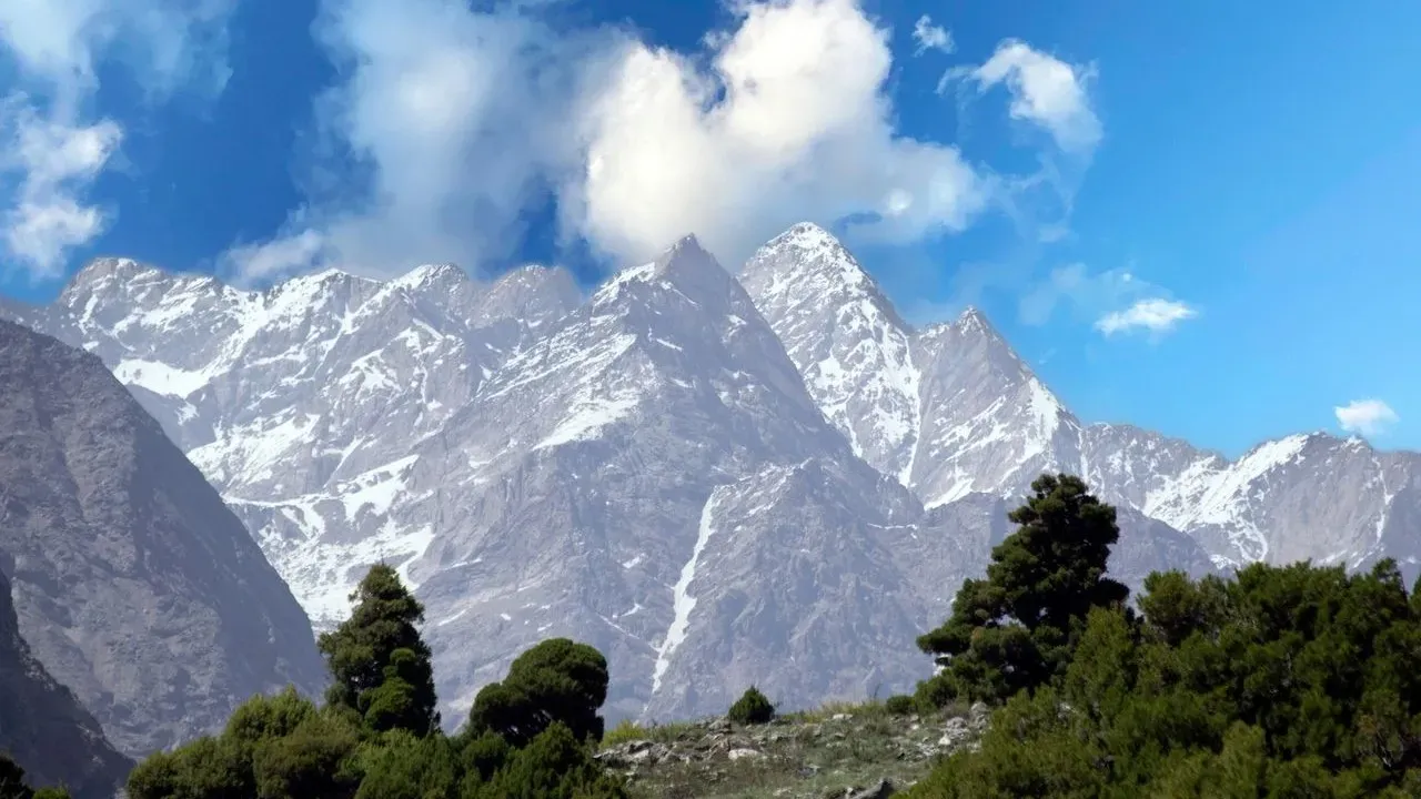

Reno sits at the edge of the Great Basin, where open ridges and valleys have long drawn residents for their views and open space. Yet those same landscapes have burned repeatedly in recent years, with fires like the Hawk Fire forcing quick evacuations from neighborhoods such as Lemmon Valley. Despite the clear pattern, new subdivisions continue to receive approvals in the same high-risk terrain.
Repeated Fires, Repeated Approvals
Meghan Ebert, a Reno city councilwoman, experienced the tension firsthand when the Hawk Fire crested Peavine Peak just weeks after her family had already evacuated from another blaze. Flames approached her home, ash fell, and power outages turned traffic signals dark as residents fled along congested routes. Two weeks later, she joined a council vote approving rezoning for the Moose Ridge site on the opposite side of the same peak, a 42-acre hillside that had also burned. ([1])
The decision reflected a broader trend. Reno carries the highest wildfire risk of any U.S. city, according to Headwaters Economics. Projects such as the 940-home Sierra Reflections subdivision in Washoe County were approved near areas scorched by the 2024 Davis Fire. Even when planning commissions initially denied developments on safety grounds, higher bodies or courts sometimes overruled those calls.
The Development Process and Its Limits
Projects in Reno and Washoe County follow a standard sequence of pre-application meetings, agency reviews, and public hearings. Fire officials map parcels against wildland-urban interface zones and require ignition-resistant construction, defensible space, and vegetation management plans in higher-risk areas. Those standards focus on what can be built rather than whether building should occur at all.
Planners note that fire risk receives consideration during reviews, yet few projects are rejected solely on that basis. Once lower-hazard land fills up, growth shifts outward and upward into steeper, more exposed terrain. Fire Marshal John Beck has described the pattern as inevitable under current constraints: moderate zones fill first, leaving only higher-hazard options.
Economic Pressures Behind the Pattern
UNR economist Nicholas Irwin points to straightforward incentives. Residents seek the trees, privacy, and scenery that also make the land fire-prone. Local governments rely on property tax revenue from existing homes and often favor rebuilding or expanding in burned areas rather than shifting growth elsewhere. The result is what Irwin calls suboptimal development patterns that place more people and structures in harm’s way.
Additional costs fall on taxpayers and future homeowners. Firefighting becomes more complex and expensive when crews must protect structures instead of allowing natural burns. A 2025 state law allows insurers to exclude wildfire coverage from standard policies, potentially shifting further expenses to buyers or developers if carriers adopt the option. Mitigation measures such as fuel reduction receive less funding than suppression, even though they often prevent larger disasters.
Practical Steps for Property Owners
Homeowners and gardeners in these zones can reduce risk through targeted landscaping choices. Creating defensible space involves clearing flammable vegetation within 30 feet of structures and maintaining a lean, clean, and green zone out to 100 feet or more. Selecting fire-resistant plants, using hardscaping like gravel or stone, and keeping roofs and gutters clear of debris all help limit ember ignition.
Existing homes can be retrofitted with ember-resistant vents, Class A roofs, and protected windows. New construction in compliant areas already incorporates many of these features. Programs such as the University of Nevada’s Living With Fire initiative emphasize adapting communities to periodic fire rather than expecting to eliminate it entirely.
The Great Basin evolved with fire as a natural process. Adapting means accepting that reality while making deliberate choices about where and how to build and maintain homes and gardens. Those decisions will shape how future fires affect Northern Nevada residents and their landscapes.
AI Disclaimer: This article was created with the assistance of AI tools and reviewed by a human editor.