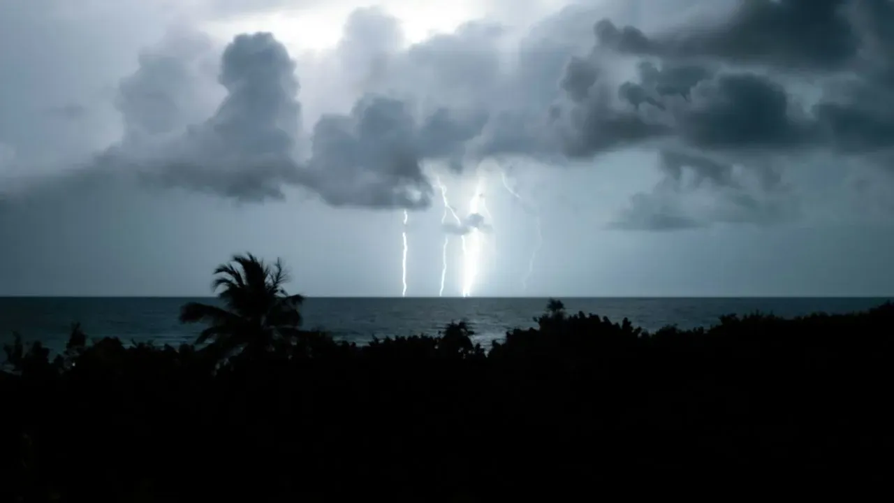

Texas – Tropical Storm Edouard came ashore Tuesday afternoon and is now delivering widespread rainfall across southeast Texas and southwest Louisiana. The system is expected to linger through Wednesday, with the heaviest downpours focused near the coast and areas north of Houston. Officials note that while winds and surge remain secondary concerns, the rain itself poses the greatest risk to communities in its path.
Current Conditions and Forecast
The storm produced a storm surge of one to three feet along the immediate coastline and sustained winds up to 60 mph at landfall. A tornado or two remains possible through Tuesday evening in parts of southwest Louisiana and southeast Texas. Rainfall totals are projected at three to six inches across much of the affected region, with isolated spots north of Houston potentially receiving six to nine inches by Wednesday. Two to four inches are expected right along the Texas coast. The combination of saturated ground and additional showers raises the chance of flash flooding, particularly in low-lying neighborhoods and urban drainage systems.
Risks to Homes, Yards, and Outdoor Spaces
Persistent heavy rain can quickly overwhelm yards and gardens, leading to standing water that stresses plants and erodes soil. Low-lying outdoor areas around homes face the highest chance of flooding, which may damage landscaping, patios, and stored equipment. Urban properties with poor drainage are especially vulnerable as runoff collects in streets and driveways. Winds, though not extreme, can still snap branches and scatter debris across lawns and gardens. Residents with mature trees or lightweight structures such as sheds and greenhouses should monitor conditions closely as the system moves through.
Key Steps for Property Protection
– Clear gutters and downspouts of debris before additional rain arrives.
– Move potted plants, garden tools, and furniture to sheltered locations.
– Check sump pumps and drainage around foundations to reduce indoor water risk.
– Avoid driving or walking through flooded streets, where hidden hazards may exist.
Outlook Through Wednesday
The main rain threat continues into Wednesday before the system weakens. Forecasters emphasize that totals could still climb in some locations, keeping flood watches in place. Homeowners are advised to stay updated through local alerts and take simple precautions now to limit damage to outdoor spaces.
AI Disclaimer: This article was created with the assistance of AI tools and reviewed by a human editor.