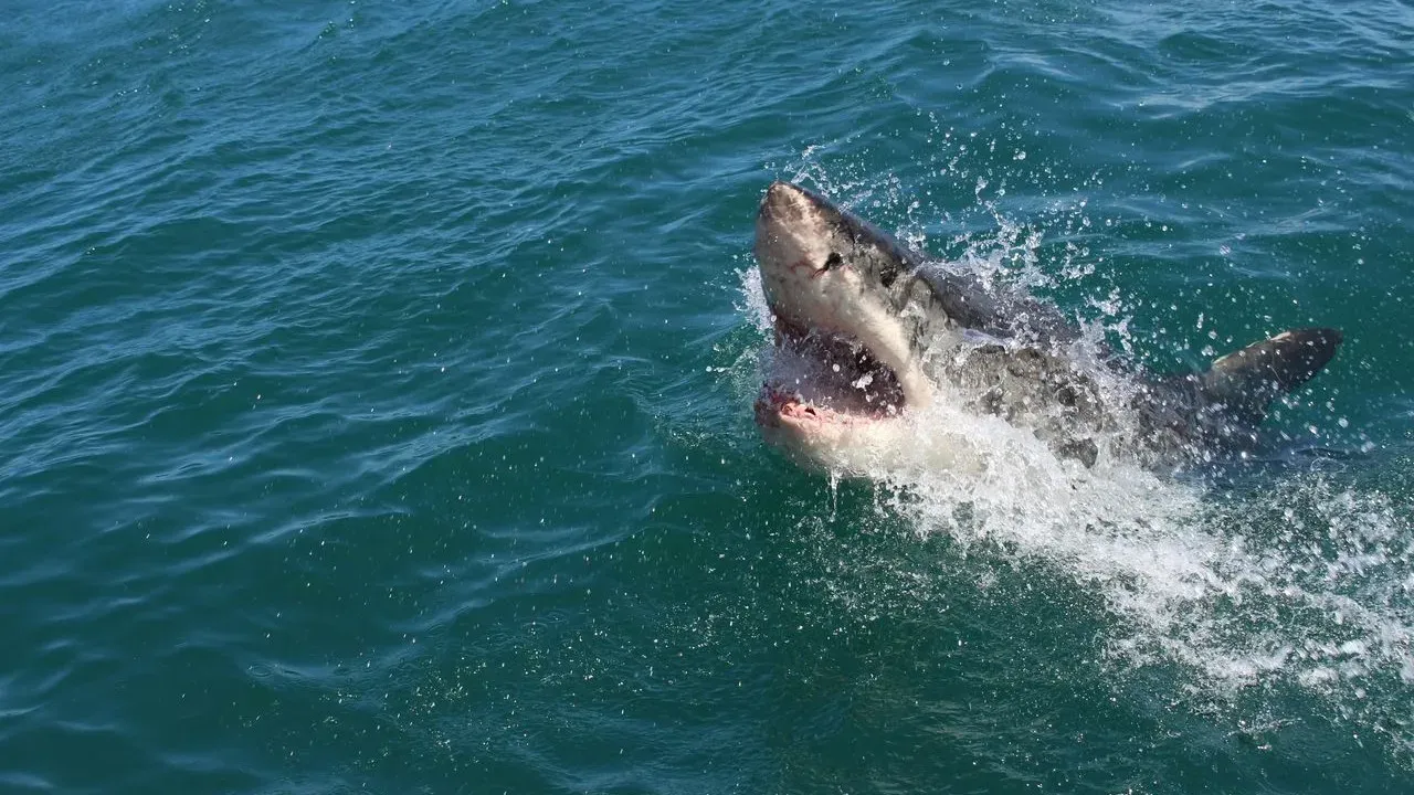

Researchers have long relied on buoys, satellites, and ships to gather data on the ocean. A University of Delaware scientist is adding another source: sharks carrying satellite-linked tags that record temperature, depth, and location as they swim through waters where storms often form.
The approach offers continuous readings from areas that are difficult to monitor with traditional equipment alone. Professor Aaron Carlisle leads the effort, which focuses on how these tagged animals can reveal conditions that influence hurricane development.
Why Sharks Fit the Task
Sharks travel long distances and spend time at varying depths. Their movements take them through surface waters and deeper layers where temperature shifts can signal changes in ocean heat content. Satellite tags transmit the collected information whenever the animals surface, creating a stream of real-time observations.
This mobility gives researchers access to data across broad regions without the need for constant human presence. The tags are designed to stay attached for extended periods, allowing repeated measurements from the same general areas over weeks or months.
Linking Ocean Data to Storm Prediction
Hurricanes draw energy from warm surface waters. Detailed profiles of temperature and salinity at different depths help scientists understand how much heat is available to fuel a storm. Carlisle’s tagged sharks provide some of those profiles while moving naturally through the environment.
The information complements satellite imagery and fixed sensors. Where satellites capture broad surface patterns, the shark-borne tags add vertical detail that can refine models used by forecasters. The result is a more complete picture of the conditions that precede tropical cyclone formation.
Because the animals range widely, the dataset can cover zones that change quickly or lie outside standard monitoring grids. This coverage matters most during the active hurricane season when small differences in ocean state can affect storm intensity.
Practical Considerations in the Field
Attaching tags requires careful handling to avoid harming the animals. Researchers select species that routinely surface and that inhabit relevant ocean zones. Once attached, the devices record data automatically and upload it during brief surface intervals.
Tag retention and battery life remain limiting factors. Not every deployment yields a full season of readings, and coverage depends on where the sharks choose to travel. Still, even partial datasets have proven useful for filling gaps in existing observation networks.
What Comes Next
Carlisle and colleagues continue to refine tag technology and expand the number of animals involved. Integration with other data sources is expected to improve over time as more tracks accumulate. The work remains one piece of a larger effort to strengthen early warnings for coastal communities.
Interest in the method stems from its ability to deliver observations from places that are otherwise expensive or logistically challenging to reach. As the program grows, the sharks’ role as mobile sensors may become a standard complement to conventional tools.
AI Disclaimer: This article was created with the assistance of AI tools and reviewed by a human editor.