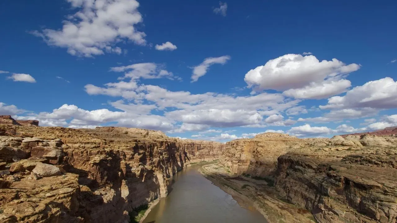

The reservoirs that anchor the Colorado River system sit at their lowest recorded levels after more than two decades of drought. Federal officials have now released a final environmental impact statement that outlines how the basin will operate for the next decade. The document signals that states may soon face binding requirements to reduce withdrawals by as much as three million acre-feet each year through 2036.
The Scale of the Proposed Reductions
The U.S. Bureau of Reclamation’s plan would require Arizona, California, and Nevada to divide the cuts evenly between an existing state agreement and allocations based on water rights. The upper basin states would pursue voluntary reductions. These measures aim to keep Lakes Mead and Powell above critical thresholds that protect both water deliveries and hydropower generation.
Current storage stands at roughly 28.5 percent of capacity at Lake Mead and 26.2 percent at Lake Powell. The seven basin states have operated under a 19-year-old agreement that expires this year, yet they have not reached consensus on replacement rules. Without new guidelines, the federal government is prepared to impose the reductions to prevent further shortages.
Agriculture’s Dominant Share of Demand
Roughly 80 percent of the water diverted from the Colorado River supports farming. The river irrigates 5.5 million acres, or about 15 percent of total U.S. cropland. That acreage produces 90 percent of the nation’s winter lettuce, broccoli, and cauliflower, supplies half the livestock feed grown in the region, and accounts for 13 percent of national livestock output.
The lower basin states alone consume an average 6.5 million acre-feet annually, while the upper basin uses 3.8 million. Mexico receives another 1.4 million acre-feet under treaty obligations. Any sustained reduction therefore lands first on irrigated agriculture, which has already trimmed use by nearly 20 percent since 2015.
Consequences for Growers and Supply Chains
Experts note that cuts of this magnitude would compel shifts in planting decisions, raise production costs, and place upward pressure on food prices. Public water suppliers already run programs that move water from farms to cities during shortages, a practice expected to accelerate and leave more land fallow. Land taken out of production does not always return when water rights are permanently transferred.
The timeline stretches through 2036, giving growers and supply chains a decade to adapt. Additional 20 percent reductions are required in the lower basin over the next two years alone. Those changes will affect not only commercial operations but also the availability and cost of produce that reaches grocery stores and home gardens nationwide.
Paths Toward Adaptation
Technology offers one avenue for relief. Wider use of precision irrigation, soil sensors, automation, and adjusted crop practices can reduce water demand while protecting yields. The Interior Department’s plan also leaves room for voluntary conservation in the upper basin, where snowpack and reservoir management remain critical.
Stakeholders across the basin continue to weigh how remaining supplies might be reallocated if cuts deepen. The outcome will shape both large-scale food production and the water restrictions that home gardeners may encounter as utilities respond to the same underlying shortage.
What matters now
- Up to 3 million acre-feet in annual cuts through 2036
- 80 percent of river water currently used for agriculture
- 5.5 million acres of farmland at risk of reduced irrigation
- Winter produce and livestock feed among the most exposed crops
The Colorado River has sustained communities and crops across the Southwest for generations. The choices made in the coming months will determine how that legacy continues under tighter limits.
AI Disclaimer: This article was created with the assistance of AI tools and reviewed by a human editor.