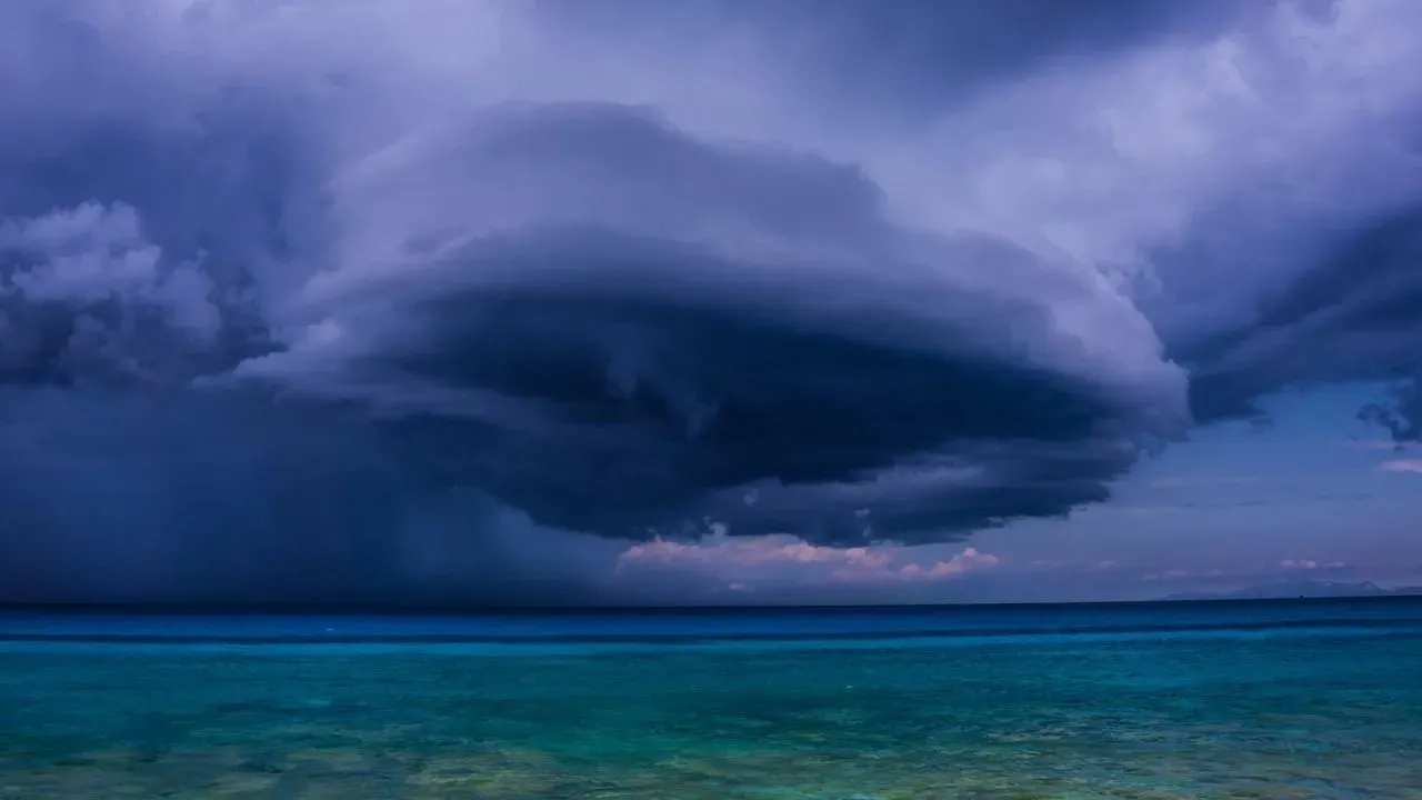

Florida residents along the Gulf Coast are watching the latest updates from the National Hurricane Center as a potential system begins to organize. The agency has increased the likelihood of a tropical depression forming in the coming days, drawing attention from homeowners who maintain outdoor spaces and gardens in the region. With the peak of summer still ahead, any developing weather pattern carries implications for coastal properties.
Why Forecasters Are Paying Closer Attention
The National Hurricane Center raised the probability of development after reviewing recent satellite and model data. As of 2 p.m. on Saturday, the chance of a tropical depression forming within the next 48 hours stood at 30 percent. This marks a noticeable step up from earlier assessments and places the focus squarely on the Gulf of Mexico.
Conditions next week appear more favorable for organization, though the system remains in its early stages. Forecasters continue to monitor moisture levels, wind patterns, and sea surface temperatures that could support further strengthening. The update serves as a reminder that even modest probabilities warrant preparation when they involve areas with dense coastal populations.
What the Current Outlook Means for the Region
At this stage, no specific track or intensity has been determined. The emphasis stays on the potential for a depression rather than a named storm. Residents from the Florida Panhandle westward are most likely to see impacts if the system matures, though the exact path could shift with new data.
Timing remains a key factor. Development is most likely to unfold early in the coming week, giving communities several days to assess local conditions. Gardeners and property owners often use this window to secure loose items and review drainage around plantings before heavier rain arrives.
Steps Coastal Homeowners Can Take Now
Early awareness allows for measured actions that protect both homes and landscapes without unnecessary alarm. Many gardeners focus on practical steps that reduce risk from wind and excess moisture.
- Check and secure lightweight garden furniture, pots, and trellises that could become projectiles.
- Clear gutters and downspouts around homes and greenhouses to handle potential heavy rainfall.
- Move sensitive potted plants or young seedlings to sheltered locations if forecasts tighten.
- Review irrigation schedules and consider pausing automatic systems ahead of possible downpours.
- Stock basic supplies such as tarps or sandbags for low-lying garden beds near the coast.
Staying Informed as the Situation Evolves
Updates from the National Hurricane Center will continue to refine the outlook over the weekend and into early next week. Local National Weather Service offices often provide additional detail tailored to specific counties. Checking official sources regularly helps separate verified changes from speculation.
For gardeners, the priority remains protecting long-term plantings and outdoor investments. A measured response now can limit later disruption if the system strengthens or shifts closer to shore. The coming days will clarify whether this development stays modest or grows into something more significant.
AI Disclaimer: This article was created with the assistance of AI tools and reviewed by a human editor.