
CoCoRaHS: Turning Backyard Rain Gauges Into a National Dataset
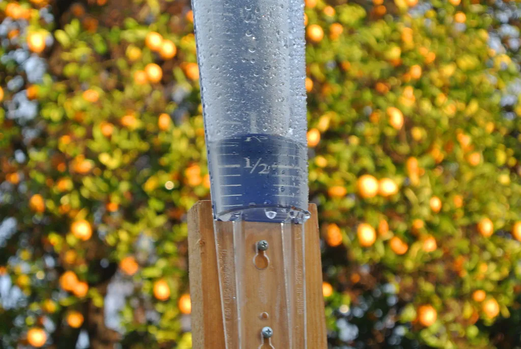
The Community Collaborative Rain, Hail and Snow Network, known as CoCoRaHS, began after a 1997 flood in Fort Collins, Colorado caught forecasters off guard. The network was formed in 1998 after storms in the Fort Collins area produced heavy but isolated rainfall, up to a foot of rain in some areas but just two inches nearby, and several people died in the resulting floods, with the Colorado Climate Center relying on reports from private citizens with rain gauges to document the storm. That grassroots response has since grown into something far larger.
Today the network has over 27,500 active observers in the United States, Canada, Puerto Rico, the U.S. Virgin Islands, Guam, and the Bahamas. Volunteers use a standardized gauge and report their totals almost every morning, and the payoff is real precision. The CoCoRaHS Data Explorer provides observers and other users easy access to the 69 plus million daily precipitation reports collected by volunteers, a dataset that would be impossible for any single agency to build alone.
SKYWARN: A Volunteer Army of Storm Spotters
While CoCoRaHS focuses on measuring what fell, SKYWARN focuses on watching what is happening in real time. SKYWARN is a National Weather Service program developed in the 1960s that consists of trained weather spotters who provide reports of severe and hazardous weather to help meteorologists and emergency managers make life-saving warning decisions. The scale of this effort is hard to overstate.
There are well over 300,000 active SKYWARN Weather Spotters in the U.S., drawn from ordinary walks of life. Spotters are concerned citizens, amateur radio operators, truck drivers, mariners, airplane pilots, emergency management personnel, and public safety officials who volunteer their time and energy to report on hazardous weather impacting their community. Training happens twice a year in most regions, and it turns casual weather watchers into a trained early warning layer for tornadoes, hail, and flash flooding.
Mountain Rain or Snow: Solving a Deceptively Hard Puzzle
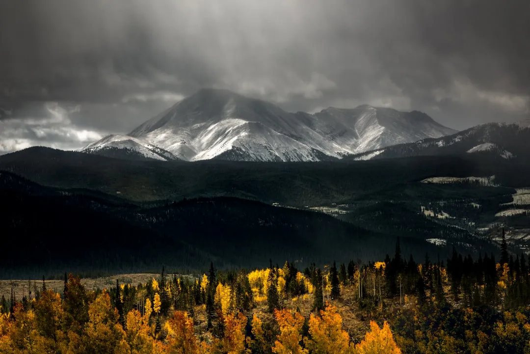
It sounds simple, rain or snow, but getting that distinction right at the exact moment a storm arrives is one of the trickier problems in regional forecasting, especially in mountain terrain. The Desert Research Institute’s Mountain Rain or Snow project asks volunteers to report exactly what is falling where they stand. During the 2025 to 2026 winter season, the Northeast led the nation with more than 7,700 observations, followed by the Sierra Nevada region with over 5,500 observations, while Colorado and western Montana followed with more than 3,000 observations each.
That data has already told a striking regional story. Large portions of the Western US experienced record or near record low precipitation and snowpack, ranking among the driest winters in decades, and when winter storms did arrive, they were often warmer with higher snowlines, producing rain at elevations that typically receive snow, which led to multiple rain on snow events and mid season melting episodes. Meanwhile parts of the Midwest and Northeast experienced short but intense storms, with much of the season’s precipitation falling in just a few days, sometimes as heavy snow, and other times as mixed precipitation. Without volunteers on the ground reporting precipitation type in real time, researchers would have far less certainty about how these patterns are shifting.
The Cooperative Observer Program: A Century-Old Tradition Still Going Strong
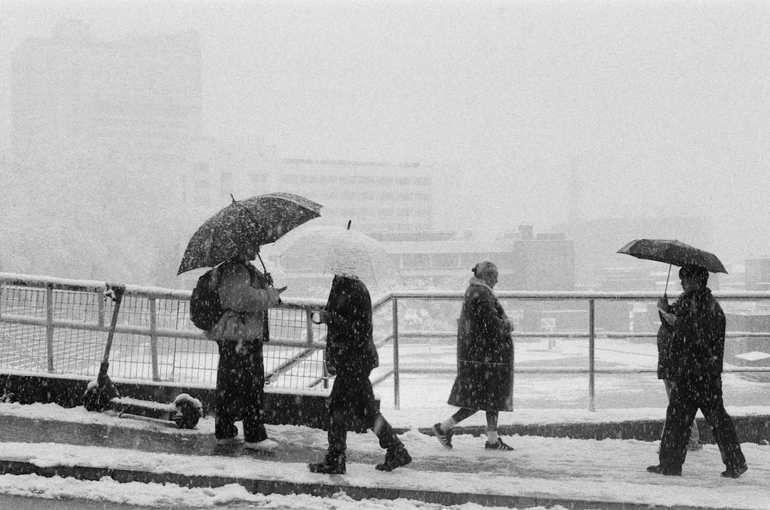
Long before smartphones, the National Weather Service relied on ordinary people to keep daily weather logs, and that tradition never stopped. The Cooperative Observer Program, or COOP, is a national network of volunteers who record and report weather and climate observations to the National Weather Service on a daily basis over the phone or Internet. The agency supports these volunteers directly, since the National Weather Service provides training, equipment, and additional support through equipment maintenance and site visits.
What makes COOP unique is its longevity. The data does not just support daily weather forecasts and warnings, it also contributes toward building the nation’s historic climate record. Some observing stations have running records that stretch back decades, giving climatologists a continuous thread of local data that satellites cannot replicate.
mPING: Crowdsourcing What Is Falling From the Sky
NOAA’s National Severe Storms Laboratory took a lighter touch approach with mPING, a project built for speed rather than precision instruments. NOAA’s National Severe Storms Laboratory runs the Precipitation Identification Near the Ground project, mPING, where users can report on the type of precipitation they are encountering at any given time without needing to measure it. That low barrier to entry is intentional.
Because anyone with a smartphone can tap out a quick report during a storm, mPING captures moment-to-moment shifts between rain, sleet, freezing rain, and snow across huge areas almost instantly. Forecasters use these crowdsourced reports to verify what radar is suggesting, particularly during messy winter storms where precipitation type can change block by block.
Nature’s Notebook: Tracking Climate Through Plants and Animals
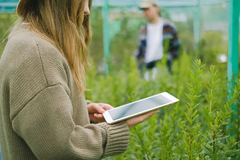
Not all weather tracking involves a rain gauge or a thermometer. The USA National Phenology Network’s Nature’s Notebook program asks volunteers to record when plants leaf out, flower, and drop their leaves, and when certain animals emerge or migrate. Participants use scientifically vetted protocols to answer questions about the phenological status of plants and animals from a list of over 600 plant species and 200 animal species.
This kind of data has already revealed regional differences in how the seasons are shifting. Research using these observations found that there are strong regional differences in autumn phenology, with leaf color in the eastern U.S. driven primarily by summer temperatures, whereas in the western U.S. leaf color change is influenced more strongly by precipitation that occurred more than six months prior. That is a nuanced climate signal that would be nearly impossible to detect without thousands of citizen observers logging small seasonal details year after year.
Filling the Gaps Left by Recent Federal Staffing Cuts
Citizen weather networks have taken on new urgency lately, not because their mission changed, but because the agencies they support have faced real strain. Reporting from Minnesota noted that the National Weather Service has faced drastic cuts, losing hundreds of positions, and while it has received permission to hire back some of those positions, it has been a difficult and slow process, leaving states and local governments scrambling to pick up the slack. That has pushed volunteer networks further into the spotlight.
According to Minnesota’s state climatologist, one way to fill in these gaps, particularly those in state weather tracking and precipitation maps, is through the information collected through community volunteers working with CoCoRaHS. It is a reminder that citizen science is not just a nice supplement to professional forecasting anymore. In several states it has become part of the operational backbone.
Personal Weather Stations: When Home Devices Become Data Points
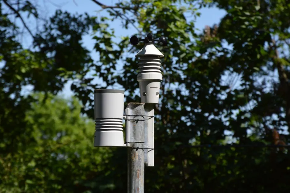
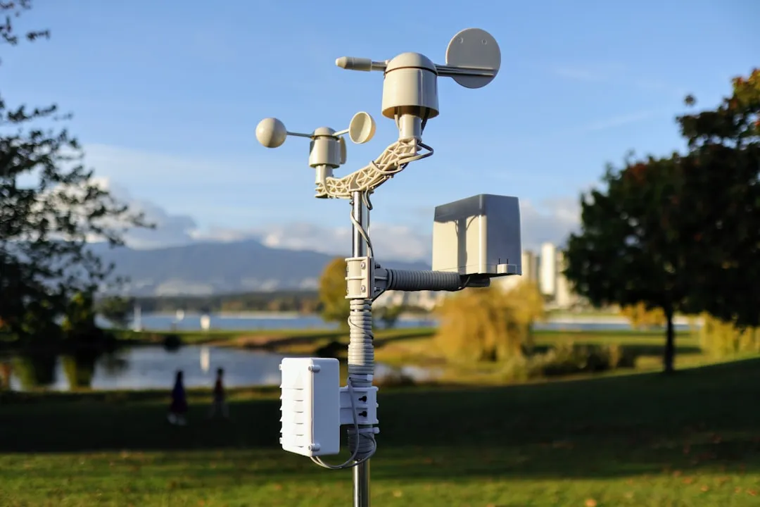
Beyond formal volunteer programs, millions of backyard weather stations quietly feed data into public networks every day. Weather Underground’s Personal Weather Station network aggregates readings from home devices, including popular consumer brands, and folds them into its public maps and forecasting tools. Many of these owners never signed up to be citizen scientists in any formal sense, they just wanted to know their own backyard temperature, yet their devices end up contributing to a much larger crowdsourced weather picture used by neighbors, hobbyists, and researchers alike.
This kind of passive participation matters because weather, especially precipitation and temperature, can vary sharply over short distances. A dense mesh of home sensors, even ones intended for personal use, adds resolution that official station networks alone cannot provide, particularly in suburban and rural areas where formal observation sites are sparse.
NOAA’s Citizen Science Strategy: The Numbers Behind the Movement
It is easy to underestimate how large this ecosystem of programs actually is until you look at agency-wide figures. NOAA citizen science projects attracted more than 570,000 participants who contributed 1.2 million volunteer hours in fiscal year 2023 alone. That volume of unpaid labor represents a substantial expansion of the agency’s observational reach.
NOAA has formally recognized this as core to its mission rather than a side project. In March 2025, NOAA updated its Citizen Science Strategy to provide a path to engage the public in support of key mission areas and its Citizen Science Action Plan, which details how NOAA will advance public participation in the work that it does. The agency has also invested directly in growing these efforts, including funding aimed at expanding the number and types of observations it can gather from coastal and fishing communities.
What This Grassroots Data Actually Gets Used For
None of this volunteer effort exists in isolation from real decision making. Data from CoCoRaHS volunteers is now routinely viewed and used by many professions and organizations including the National Weather Service, meteorologists, hydrologists, emergency managers, city utilities, insurance adjusters, agribusinesses, engineers, and science teachers, applied to water resource planning, severe storm warnings, teaching earth science, predicting crop yields, and assessing hail damage. That is a strikingly wide range of downstream users for data collected largely by hobbyists with a rain gauge in their yard.
The same pattern holds for drought monitoring. When there is a deficit in rain and snow, the daily observations of zero precipitation and condition monitoring reports aid in creating the U.S. Drought Monitor. A missing zero in a volunteer’s log is not a null entry, it is meaningful information about exactly where dry conditions are settling in.
What Comes Next for Citizen Weather Science
Looking ahead, these networks show no sign of slowing down, and if anything the pressure on federal weather agencies is likely to keep pushing more responsibility toward volunteers. Programs like CoCoRaHS actively compete for new sign ups, including friendly state versus state recruitment drives each spring, and newer projects like Mountain Rain or Snow are expanding into more mountain ecoregions each winter season.
The tools are also getting better. New data visualization platforms let ordinary volunteers explore their own multi year records instantly, turning a simple daily habit into a personal window on local climate trends. As one CoCoRaHS volunteer put it after using the network’s new Data Explorer tool, they discovered that twenty one percent of the annual rainfall recorded at their station to date in 2023 came from just two 24 hour or less rainfall events, a detail about their own backyard they would never have calculated on their own.
Weather forecasting has always depended on knowing what is happening on the ground, not just what a model predicts. What has changed is who gets to supply that ground truth. A retiree with a rain gauge, a hiker reporting snow depth, a teenager logging when the maple in the yard finally buds, these small daily acts are quietly becoming part of the scientific record. The next time a forecast turns out to be right, there is a decent chance someone’s backyard data helped make that possible.AI Disclaimer: This article was created with the assistance of AI tools and reviewed by a human editor.